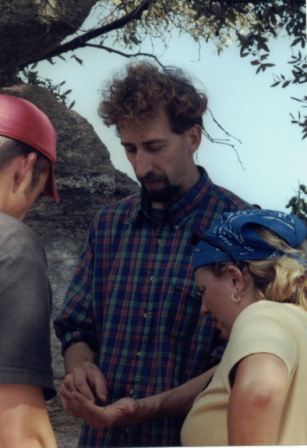
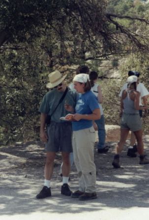
 Barrett Klein, an entomology graduate student at the Univ. of Arizona, helps identify invertebrates (above and right). Barrett Klein, an entomology graduate student at the Univ. of Arizona, helps identify invertebrates (above and right). |
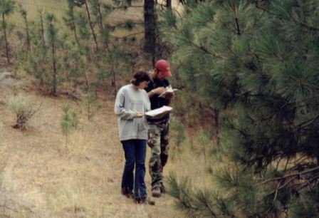
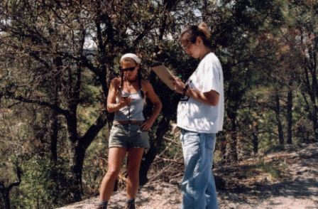 Jean uses the GPS while Becky records the data. 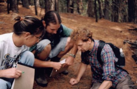 |
 |
 |
| Students spread out to collect their respective data. | Becky and Beau make identification with keys. |
 |
 |
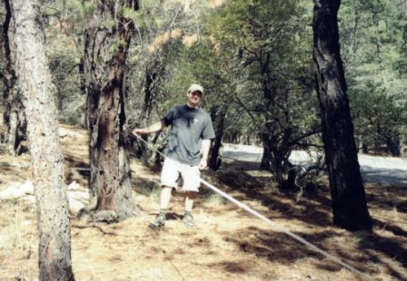
| Brian helps to measure distance needed to estimate tree heights. | Trey matched flowers with pictures, while Shannon records the information. |
   |
|
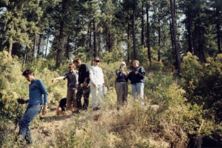
| Tarryn verifies a leaf identification, while others head into the forest (left). Matt looks on as Rodney and Shannon dig for invertebrates (center). Laura is on bird-identification duty at this stop (right). | |